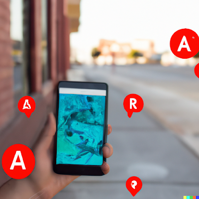
Augmented Reality (AR) walking directions is a feature in Google Maps that allows users to see walking directions overlaid on the real world using their smartphone's camera. This can be a helpful tool for navigating unfamiliar areas or for finding your way around a city while on foot.
To use AR walking directions in Google Maps, users need to have a smartphone with a camera and an internet connection, and they need to have the latest version of the Google Maps app installed. Here's how to use AR walking directions in Google Maps:
- Open the Google Maps app on your smartphone and search for the location you want to go to.
- Tap the "Directions" button and select "Walking" as the mode of transportation.
- Tap the "Start AR" button to activate the AR walking directions feature.
- Hold your phone up and point the camera at the ground in front of you. Google Maps will display a virtual path on the ground that shows you the route you should follow.
- Follow the virtual path and walk towards your destination. As you move, the virtual path will update to show you the next steps in your route.
- If you need to turn or change direction, Google Maps will display arrows and other visual cues to guide you.
- When you reach your destination, Google Maps will notify you and deactivate the AR walking directions feature.
Using AR walking directions in Google Maps can be a convenient and engaging way to navigate unfamiliar areas, especially if you are unfamiliar with the layout of a city or have trouble reading traditional maps. It's important to be aware of your surroundings and to pay attention to traffic and other hazards while using AR walking directions or any other navigation tool.

